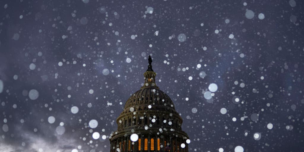
The first significant winter storm of the year is threatening a 2,100-mile expanse of the United States stretching from the Northwest through the Plains to the mid-Atlantic and East Coast. This weather event presents multiple life-threatening hazards, including heavy snow and potentially blizzard-like conditions, along with crippling ice accretions likely to lead to extended power outages.
The storm moved into the Northern Rockies and Central Plains on Saturday, after initially impacting the West Coast, and even generated the first tornado of the year in California.
Currently, over 60 million residents are under winter weather alerts, including Winter Storm and Ice Storm Warnings, with significant impacts anticipated along Interstates 50 and 70.
NOAA forecasters and the FOX Weather Center have warned that travel may be impossible in some areas, as certain roadways could be buried under over a foot of snow despite pre-treatment efforts. Combined with wind gusts reaching up to 40 mph, blizzard conditions may trigger whiteout scenarios, increasing the risk of motorists becoming stranded.
Areas south of the heavy snow band will likely face hazardous ice conditions, with ice accumulations nearing an inch extending from southern Missouri through Kentucky and into West Virginia. Such substantial ice can lead to prolonged power outages, especially in regions with challenging terrain.
Significant Snowfall Expected
Forecasts predict snowfall totals nearing a foot in parts of Kansas, Missouri, Illinois, Ohio, and West Virginia, marking this winter blast as the most significant of the season, perhaps highlighting the most substantial snowfall in over a decade.
Higher snowfall amounts are anticipated in the Appalachians and along the Great Lakes regions due to terrain influences. In preparation, many municipalities are declaring snow emergencies, with crews mobilizing to treat roads and facilitate snow removal efforts continuously.
Becky Allmeroth, Chief Safety and Operations Officer for the Missouri Department of Transportation, emphasized the seriousness of the situation stating, ‘This is the big one. We are messaging out ahead of time, letting motorists know that travel will be almost impossible on some of our major interstates such as Interstate 70 and Interstate 44.’
Across metro areas like Kansas City, St. Louis, and Louisville, heavy snowfalls of 5-8 inches are expected, with Indianapolis likely experiencing even higher accumulations. Moreover, cities like Philadelphia and Washington, D.C. could see snowfall between 3-6 inches through Monday night.
Widespread Ice and Power Outages Expected
In conjunction with the forecasted heavy snow, significant ice accretions are also anticipated in southern Missouri, southern Illinois, and the Appalachian region due to hours of freezing rain.
The National Weather Service advises that ice totals could reach half an inch, leading to widespread tree damage and extensive power outages. Travel is discouraged, and individuals are encouraged to keep emergency supplies in their vehicles when traveling is unavoidable.
As the storm progresses, residents in affected areas are reminded that conditions could deteriorate, potentially resulting in hazardous travel. The forecast indicates that this winter storm is not just an isolated event, as additional cold fronts are expected to sweep through following this weather system.


