
March 9, 2025
Sunday Morning Report
The change of time signals warmer days ahead, but today’s weather will be marked by dry winds and a sunset after 7 PM. However, this also brings a serious concern regarding drought conditions in the region.
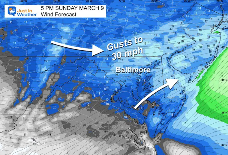
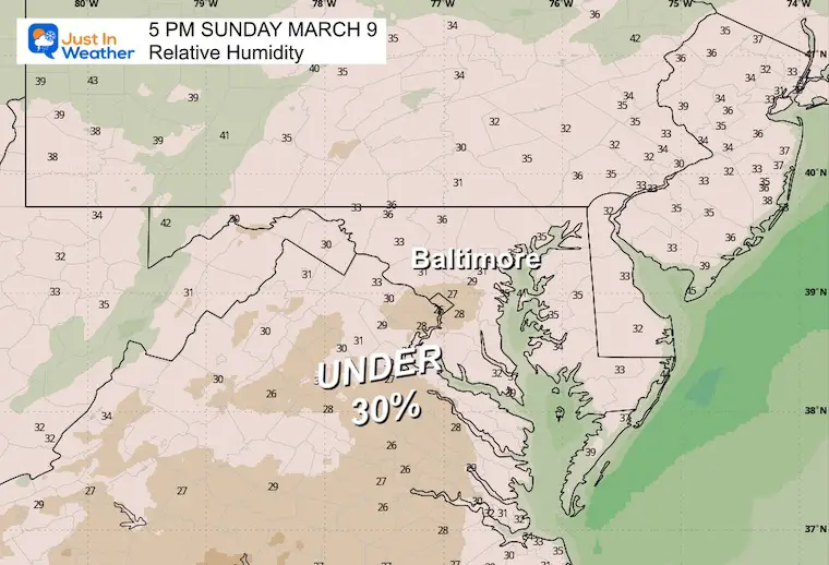
As a result of low humidity and gusty winds, the National Weather Service has issued an Elevated Risk for Rapid Fire Spread. This warning indicates that any brush fire could escalate dangerously out of control.
Last weekend, a significant fire broke out on Long Island, NY, which was monitored through Doppler Radar and captured in several videos.
🚨 #BREAKING: Multiple MASSIVE brush fires have engulfed Long Island, NY near the Hamptons. More major roads are being closed while firefighters battle the flames. This is terrifying. pic.twitter.com/jW6YrJa4m5 — Nick Sortor (@nicksortor) March 8, 2025
FIRE RISK WARNING
Message from NWS: The conditions today, with winds gusting between 20 to 30 mph and humidity levels dropping to between 20% and 30%, pose a significant threat for rapid fire spread this afternoon. Please check with local burn permitting authorities about regulations on outdoor burning. Anyone opting to burn should exercise extreme caution given the potential for fires to rapidly intensify.

Wind and Humidity Forecast
Seasonal Changes
With the arrival of daylight saving time, clocks need to be adjusted, and smoke detector batteries should be checked.
Baltimore Sunrise/Sunset Times:
- Sunset: 7:08 PM
- Monday: Sunrise 7:25 AM; Sunset 7:09 PM
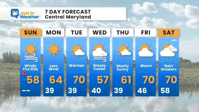
The week ahead looks promising with a warming trend but remains dry, leading to worsening drought conditions.
DROUGHT UPDATE
The longer days are increasing evaporation rates of soil moisture, especially with the forecast showing no rain for at least another week. The rain deficit continues to climb.
RAINFALL DEFICIT AT BWI
- End of 2024: -8.00”
- Since January 1: -2.06”
- Total Deficit: -10.06”
CLIMATE DATA: Baltimore
Today, March 9
Sunrise: 7:27 AM | Sunset: 7:08 PM
Normal Low: 32ºF | Normal High: 52ºF
Record Low: 10ºF (1960) | Record High: 82ºF (2016)
Seasonal Snow Total: 12.7”
Weather Snapshot
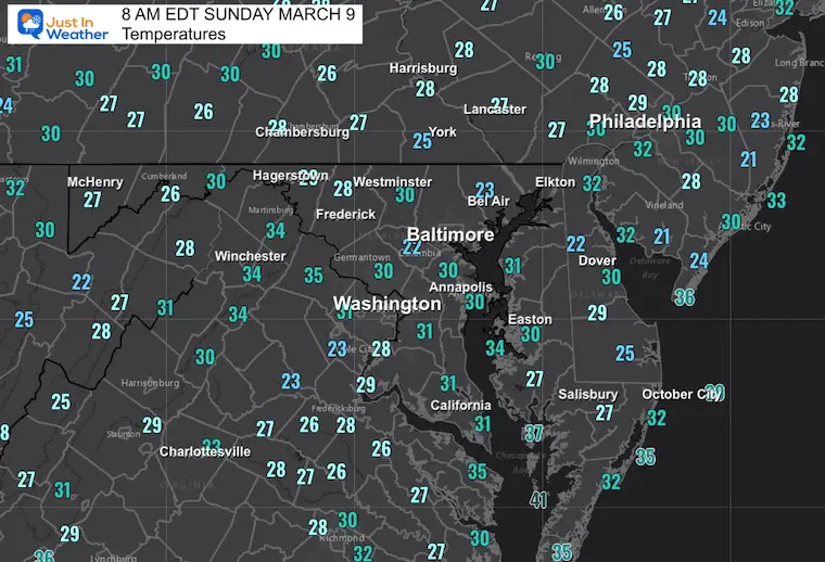
A cold front passed overnight, leaving behind chilly winds with gusts up to 35 mph. A southern storm track is projected to miss the area.
As we advance through the week, no organized rain is expected.
Weather Outlook for Monday
Next Week
An upcoming dry pattern stretches from Monday through Sunday, with the possibility of severe storms developing later in the week elsewhere.
7-Day Forecast
Expect a spring pattern to continue with temperatures nearing 70 towards next weekend.
Reminder
Thank you for staying safe and updated.